

3D High Definition Laser Survey
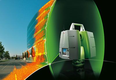
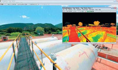
Stanger Surveying is proud to offer the state of the art technology, 3-D Laser Scanning or High Definition Surveying (HDS). This powerful technology allows us to capture existing conditions utilizing the speed and accuracy of lasers to provide features into a precise digital 3D model. Our Leica C-10 scanner can collect up to 50,000 points a second to produce a dense and accurate collection of individual measurements called a “point cloud” that can be processed and seamlessly integrated with today’s 3D design process.
Benefits of utilizing 3D Laser Scanning or High Definition Surveying:
- Instant 3D Images
- Time Savings
- Safety
- Accurate and Detailed measurements of an object
- Reduce cost from fewer field trips
3D Laser Scanning Applications:
- Existing conditions Surveys
- Design & Engineering
- Building Façade Mapping
- Construction & Fabrication Verification
- BIM Project Support
- Clash Detection and Avoidance
- Historical Preservation
- Asset Management & Archive
- Accident and Forensic Mapping
Deliverables:
- 3D Point Clouds
- CAD/BIM 2D or 3D Objects
- AutoCAD / Microstation
- Terrain Modeling and Contouring
- Volume Calculations
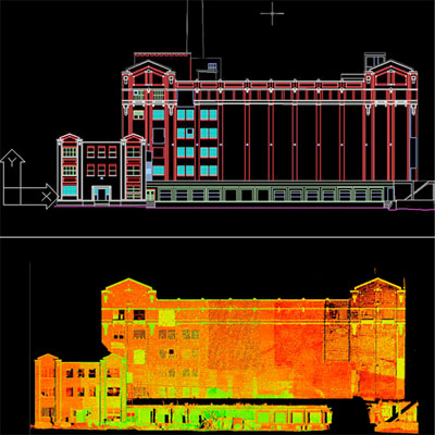
- Dimensioned Exhibits – Plan, Profile & Elevation
- TruView – Web Viewers
- 3D Animation-Fly Through
3D Laser Scanning (HDS) can offer many benefits for users of accurate spatial datasets. Please give us a call to see if 3D laser scanning is a fit for your project.
